Enter the NIR and the RED values into the calculator to determine the advanced vegetation index.
- NDVI Calculator
- GDU (Growing Degree Units) Calculator
- DLI (Daily Light Integral) Calculator
- Basal Area Calculator
- Normalized Burn Ratio (NBR) Calculator
- Pig Weight Calculator
- Hatch Rate Calculator
AVI Formula
The following formula is used to calculate an advanced vegetation index:
AVI = [ NIR * (1-RED) * (NIR -RED ) ] ^ 1/3
- Where AVI is the advanced vegetation index
- NIR is the near-infrared light value
- RED is the red light value
AVI Definition
The advanced vegetation index (AVI) is a valuable tool used for the assessment and monitoring of vegetation health and productivity.
It combines satellite imagery and various mathematical algorithms to provide an accurate representation of the condition and vigor of vegetation cover.
Example Problem
How to calculate AVI?
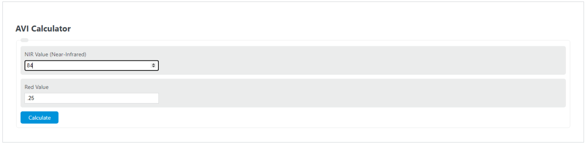
First, determine the near-infrared light value. For this example, we will use a value of 84.
Next, determine the RED spectral band value. For this example, using the same satellite (Landsat 5), the RED value is .2525
Finally, calculate the AVI for this area of land using the formula above:
AVI = [ NIR * (1-RED) * (NIR -RED ) ] ^ 1/3
AVI = [ 84 * (1-.25) * (84-25 ) ] ^ 1/3
AVI = 17.409
FAQ
What is the significance of using NIR and RED values in calculating the AVI?
NIR (Near-Infrared Light) and RED values are significant in calculating the Advanced Vegetation Index (AVI) because they directly relate to the health and vigor of vegetation. NIR reflects the density of plant biomass, while RED light absorption indicates the presence of chlorophyll. By analyzing the balance between these two values, AVI can accurately assess the condition of vegetation, identifying areas of growth or stress.
How can AVI data aid in agricultural planning?
AVI data is crucial for agricultural planning as it provides detailed insights into the health and productivity of crops over large areas. By identifying zones of stress or disease early, farmers can target interventions more effectively, optimizing irrigation, fertilization, and pest control. Additionally, AVI can guide planting decisions, land management practices, and crop rotation strategies, ultimately leading to increased yields and sustainable farming practices.
Can AVI be used to monitor environmental changes?
Yes, the Advanced Vegetation Index (AVI) is an effective tool for monitoring environmental changes. It can detect shifts in vegetation cover and health, signaling changes in climate, soil quality, or the impact of human activities. By tracking these variations over time, AVI helps in assessing the effectiveness of conservation efforts, the progression of desertification, and the recovery of ecosystems following natural disasters or human-induced disturbances.