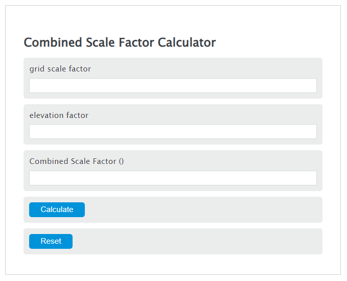
Calculate combined scale factor from point scale factor and height, then convert grid and ground distances or multiply factors manually.
- All Math and Numbers Calculators
- Scale Factor Area Calculator
- Scale Factor Dilation Calculator
- Scale Speed Calculator
Combined Scale Factor Formula
Variables:
- CSF is the Combined Scale Factor (unitless)
- GSF is the grid (projection) scale factor: the ratio of grid distance on the projection to the corresponding distance on the reference ellipsoid at a point (unitless)
- EF is the elevation factor: the ratio of ellipsoidal distance to ground distance (often approximated by EF = R / (R + H)) (unitless)
To calculate Combined Scale Factor, multiply the grid scale factor by the elevation factor.
How to Calculate Combined Scale Factor?
The following steps outline how to calculate the Combined Scale Factor.
- First, determine the grid scale factor.
- Next, determine the elevation factor.
- Next, gather the formula from above = CSF = GSF * EF.
- Finally, calculate the Combined Scale Factor.
- After inserting the variables and calculating the result, check your answer with the calculator above.
Example Problem :
Use the following variables as an example problem to test your knowledge.
grid scale factor (GSF) = 0.999600
elevation factor (EF) = 0.999843 (e.g., about 1000 m elevation using R ≈ 6,371,000 m). Then CSF = 0.999600 × 0.999843 = 0.999443 (unitless).
FAQs
What is a grid scale factor and how is it determined?
In surveying/geodesy, the grid (projection) scale factor is the projection distortion factor: the ratio of a distance on the map projection grid to the corresponding distance on the reference ellipsoid at a point (and sometimes in a given direction). It is determined by the chosen projection (e.g., State Plane or UTM) and the location; it does not directly account for ground elevation.
What role does the elevation factor play in calculations?
The elevation factor accounts for the difference between distances on the reference ellipsoid and distances measured on the ground at height H. A common approximation is EF = R / (R + H), so multiplying a ground distance by EF reduces it to an ellipsoidal distance (and dividing by EF expands an ellipsoidal distance to a ground distance).
Can the Combined Scale Factor be used for all types of maps?
The idea is broadly applicable, but the exact definitions and accuracy depend on the projection and workflow. In practice, combined scale factor is most commonly used in surveying/engineering contexts with projected coordinate systems (such as State Plane or UTM) to convert between grid distances and ground distances.
How does the Combined Scale Factor affect map accuracy?
Using the combined scale factor helps minimize distance/area errors by accounting for both projection distortion (grid scale factor) and the reduction from ground to the reference ellipsoid (elevation factor). This is important when high accuracy is required.