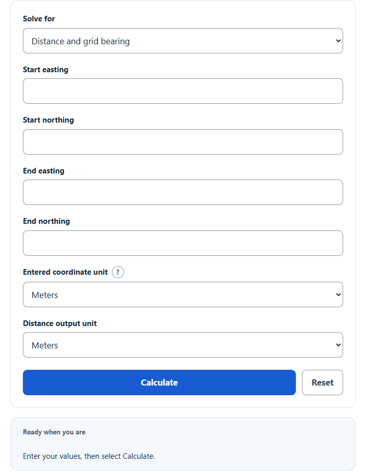
Calculate straight-line grid distance, coordinate differences, and bearing from two easting/northing points, or find an endpoint from distance and bearing.
Related Calculators
- Knots to Distance Calculator
- Steps to Miles Calculator
- Chains Per Hour Calculator
- Inches Per Minute Calculator
- All Unit Converters
Calculator Functions
| Function | What it does | What it requires |
|---|---|---|
| Distance and grid bearing | Finds the straight-line grid distance and the grid bearing between two points | Requires the easting and northing of the start point and of the end point |
| Endpoint from distance and bearing | Finds the easting and northing of a point a set distance and bearing from a start point | Requires the start easting and northing, the grid distance and the grid bearing in degrees |
Coordinates are numeric eastings and northings in meters, kilometers, international feet or US survey feet. Both points must be in the same grid, zone and unit. The distance can be shown in meters, kilometers, either foot or miles. Every result also lists the change in easting and northing, the compass direction, the reverse bearing and the bearing in degrees, minutes and seconds.
Grid Reference Distance Formulas
| D | Grid distance between the two points |
| ΔE | Change in easting, E₂ − E₁ |
| ΔN | Change in northing, N₂ − N₁ |
Eastings and northings are plane coordinates on a simple two-dimensional grid [1], so the distance between two points is the hypotenuse of a right triangle whose sides are the change in easting and the change in northing.
Distance and grid bearing
The distance comes from the main formula. The grid bearing θ is the angle clockwise from grid north, from 0° up to 360°. From 500000, 200000 to 500100, 200100 in meters, ΔE and ΔN are both 100, so the distance is √(100² + 100²) = 141.42135624 m and the bearing is 45°, north-east. A change of 300 east and 400 north gives 500 m at 36.86989765°. A point 100 west and 100 south is the same 141.42135624 m away at 225°.
Endpoint from distance and bearing
N₂ = N₁ + d × cos θ
The distance d is split into an easting part and a northing part and added to the start point. From 500000, 200000, a distance of 1,000 m at 90° ends at 501000, 200000. At 30° it ends at 500500, 200866.02540378, which is 500 m east and 866.03 m north.
How to Calculate the Distance Between Northing and Easting Coordinates
Subtract the first easting from the second and the first northing from the second. Square both differences, add them and take the square root. The answer is in the same unit as the coordinates, so UTM and other metric grids give meters. A lettered grid reference has to be written as full numeric eastings and northings first.
Limits of This Estimate
- The result is a distance on the map grid, not on the ground. A map projection distorts distances everywhere except along the line where it touches the ellipsoid, and UTM zones apply a scale of 0.9996 on the central meridian [1]. No scale factor, convergence or datum conversion is applied.
- The bearing is measured from grid north, which is not the same as true north or magnetic north.
- Both points must use the same projection, zone, datum and unit. Latitude and longitude are not accepted, and points in different zones cannot be compared this way.
- The international foot is 0.3048 m exactly and the US survey foot is 1200/3937 m. The survey foot has been superseded since January 1, 2023 and remains only for historic and legacy use [2], so use the unit that belongs to the source grid.
Sources
- Ordnance Survey, A Guide to Coordinate Systems in Great Britain, Sections 3.1.5 and 7: eastings and northings as plane coordinates, and the scale distortion of projected distances
- NIST, U.S. Survey Foot: definitions of the international foot and the US survey foot