Calculate straight-line and route distance between coordinates or multi-point paths, including elevation, bearing, midpoint, and route factors.
- All Math and Numbers Calculators
- All Distance Calculators
- Scale Factor Dilation Calculator
- Combined Scale Factor Calculator
Actual Distance Formula
The calculator runs three modes. Each mode uses one core formula.
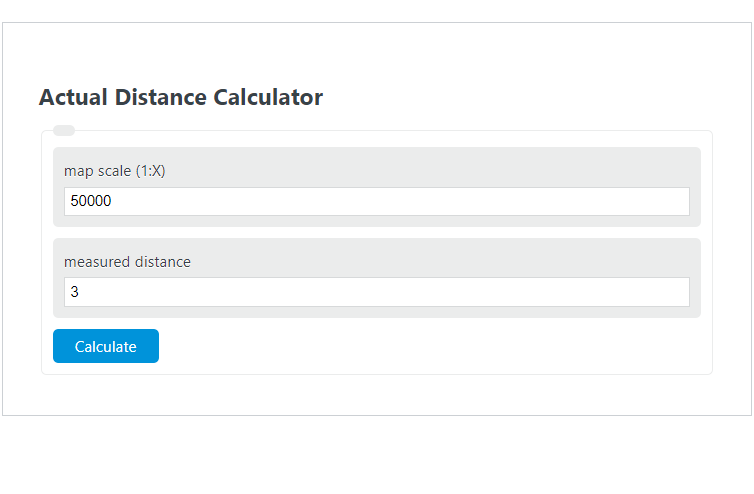
Map scale mode. Convert a measured map distance into a real-world distance using the scale ratio.
- Actual = real-world distance
- Measured = distance you measured on the map
- ScaleDenominator = the X in a 1:X scale
Both sides must use the same length unit before you convert. The calculator handles unit conversion for you, so you can enter cm, mm, in, ft, or m and request the output in m, km, ft, mi, or yd.
Coordinates mode. Compute great-circle distance between two latitude and longitude points using the haversine formula.
- φ1, φ2 = latitudes of the two points in radians
- Δφ = φ2 − φ1
- Δλ = longitude difference in radians
- R = mean Earth radius, 6,371,008.8 m
- d = surface distance along a sphere
This treats Earth as a sphere. Real ellipsoidal distance differs by less than about 0.5 percent for most pairs of points. The calculator also returns the initial bearing and the midpoint.
Find scale mode. Solve for the scale denominator when you know one map distance and the matching real distance.
- ActualDistance = known real-world distance
- MapDistance = the same distance measured on the map
- Both values must be converted to the same unit before dividing
The result is reported as 1:X and as the equivalent of 1 inch and 1 cm on the map.
Reference Tables
Use these to sanity-check inputs and outputs.
| Map scale | 1 cm equals | 1 inch equals | Typical use |
|---|---|---|---|
| 1:24,000 | 240 m | 2,000 ft | USGS topo quad |
| 1:25,000 | 250 m | 2,083 ft | Hiking, OS maps |
| 1:50,000 | 500 m | 4,167 ft | Regional topo |
| 1:100,000 | 1 km | 1.58 mi | Road map |
| 1:250,000 | 2.5 km | 3.95 mi | State/regional overview |
| 1:1,000,000 | 10 km | 15.78 mi | Atlas, country map |
| Unit | Meters |
|---|---|
| 1 inch | 0.0254 |
| 1 foot | 0.3048 |
| 1 yard | 0.9144 |
| 1 kilometer | 1,000 |
| 1 mile | 1,609.344 |
| 1 nautical mile | 1,852 |
Worked Examples and FAQ
Example 1: Map scale. You measure 3.5 cm between two points on a 1:24,000 USGS topo. Actual distance = 3.5 cm × 24,000 = 84,000 cm = 840 m, or about 0.522 mi.
Example 2: Coordinates. From (40.7128, -74.0060) in New York to (34.0522, -118.2437) in Los Angeles, the haversine formula gives roughly 3,936 km, or 2,445 mi, along the great circle.
Example 3: Find scale. A road on the map is 4 cm long. The same road is 2 km in real life. Scale = 200,000 cm ÷ 4 cm = 50,000. The map is 1:50,000.
Why does straight-line distance differ from driving distance? The coordinates mode returns the shortest path across Earth's surface. Roads, terrain, and detours always make actual travel longer.
Does map scale work in any unit? Yes, as long as both sides match. A 1:24,000 scale means 1 unit on the map equals 24,000 of the same unit on the ground, whether that is inches, centimeters, or meters.
How accurate is the haversine formula? It assumes a perfect sphere. Compared to the WGS84 ellipsoid used by GPS, errors are typically under 0.5 percent. For surveying or aviation flight planning, use a Vincenty or geodesic calculation instead.
What does "large scale" versus "small scale" mean? A large-scale map has a small denominator and shows a small area in detail (1:24,000). A small-scale map has a large denominator and shows a large area with less detail (1:1,000,000).
Can I use the coordinates mode for short distances? Yes. It works at any scale, but at very short distances rounding in your input coordinates dominates the error. Use at least 5 decimal places of latitude and longitude for sub-meter precision.