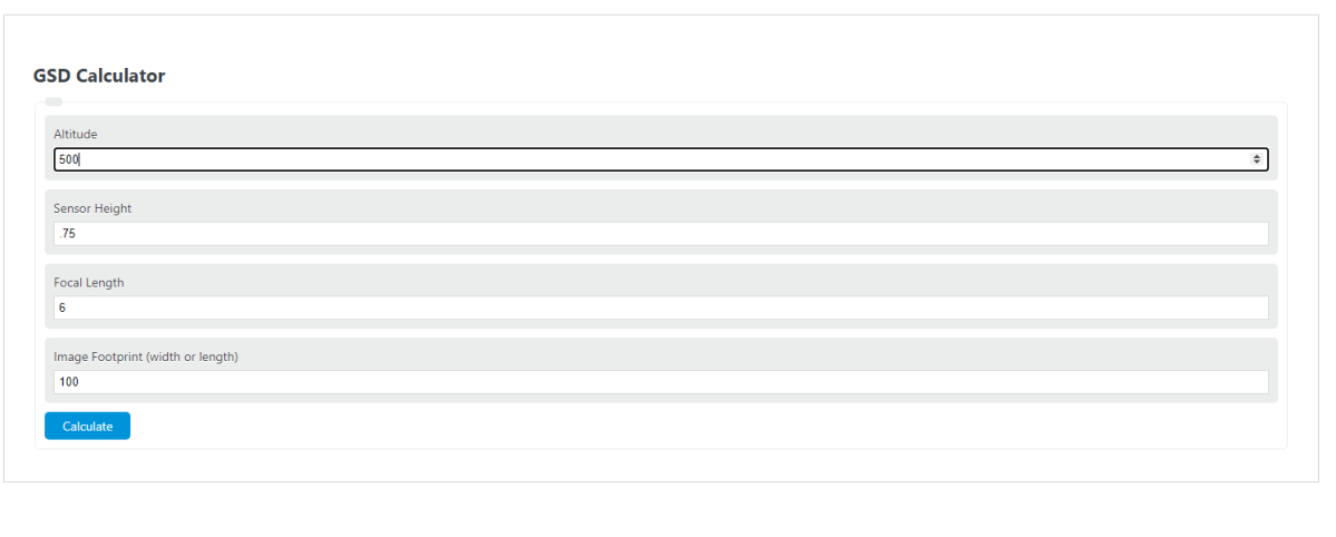
Calculate ground sample distance (GSD) or a missing camera value from altitude, sensor dimension, focal length, and image size in pixels.
- All Distance Calculators
- All Unit Converters
- Ground Speed Calculator
- Glide Ratio Calculator
- VDP Calculator
GSD Formula
Ground sample distance, or GSD, is the ground length represented by one image pixel. The calculator uses altitude above ground, sensor dimension, focal length, and image dimension to solve for the missing value.
- GSD = ground sample distance, usually in meters per pixel, centimeters per pixel, or inches per pixel
- A = altitude above ground
- S = sensor dimension, either sensor width or sensor height
- F = focal length
- P = image dimension in pixels, either image width or image height
Use matching dimensions in the formula. If you enter sensor width, use image width in pixels. If you enter sensor height, use image height in pixels. The calculator converts the selected units internally, then returns the missing value in the unit you selected for that field.
Common GSD Ranges and Unit Conversions
Smaller GSD values mean each pixel covers less ground, so the image has finer ground detail.
| GSD | Approximate ground detail | Typical interpretation |
|---|---|---|
| 1 cm/px or less | Very fine | Useful when small surface features need to be visible |
| 2 to 5 cm/px | Fine | Common for drone mapping and site imagery |
| 5 to 10 cm/px | Moderate | Suitable for broader mapping where small details are less important |
| More than 10 cm/px | Coarser | Better for large-area coverage than close inspection |
| Conversion | Equivalent value |
|---|---|
| 1 m/px | 100 cm/px |
| 1 cm/px | 0.01 m/px |
| 1 in/px | 0.0254 m/px |
| 1 ft | 0.3048 m |
| 1 in | 25.4 mm |
Example Calculations
Example 1: Calculate GSD
You have an altitude of 120 m, a sensor width of 13.2 mm, a focal length of 8.8 mm, and an image width of 5472 px.
The result is about 3.29 cm/px.
Example 2: Calculate altitude
You want a GSD of 2.5 cm/px, using a focal length of 8.8 mm, an image width of 5472 px, and a sensor width of 13.2 mm. First convert 2.5 cm/px to 0.025 m/px.
The altitude needed is 91.2 meters above ground.
FAQ
What does a lower GSD mean?
A lower GSD means each pixel represents a smaller area on the ground. For example, 2 cm/px shows more ground detail than 10 cm/px. Lower GSD usually requires flying lower, using a longer focal length, using a larger sensor dimension, or using more pixels across the image.
Should altitude be above ground or above sea level?
Use altitude above ground, not altitude above sea level. GSD depends on the distance from the camera to the ground surface being photographed. If terrain elevation changes, the actual GSD also changes across the area.
Can you mix sensor width with image height?
No. Use width with width or height with height. If you enter the sensor width, enter the image width in pixels. If you enter the sensor height, enter the image height in pixels. Mixing width and height gives an incorrect GSD unless the sensor and image have the same aspect ratio in both dimensions.