Calculate vertical exaggeration, horizontal scale, or vertical scale from any two values, with scale units in meters, kilometers, feet, or miles.
- All Construction Calculators
- Vertical Angle Calculator
- Scale Calculator
- Scale Factor Dilation Calculator
- Combined Scale Factor Calculator
- Slope Calculator
- Angle to Slope Calculator
Vertical Exaggeration Formula
Vertical exaggeration compares the horizontal scale of a profile, cross-section, or diagram to its vertical scale. It tells you how much steeper or more pronounced relief appears on the drawing than it would at true scale.
VE is the vertical exaggeration factor, HS is the horizontal scale expressed as ground distance per drawing unit, and VS is the vertical scale expressed as ground distance per drawing unit.
If both scales are written as representative fractions, the same relationship can be written using the denominators of those scales:
Here, the horizontal scale is written as 1:nh and the vertical scale is written as 1:nv.
What Vertical Exaggeration Means
- VE = 1 means no exaggeration; horizontal and vertical scales match.
- VE > 1 means the vertical dimension is exaggerated, making slopes and relief appear steeper.
- VE < 1 means the vertical dimension is compressed relative to the horizontal dimension.
- Vertical exaggeration is dimensionless; it is a ratio, not a unit-bearing measurement.
How to Use the Calculator
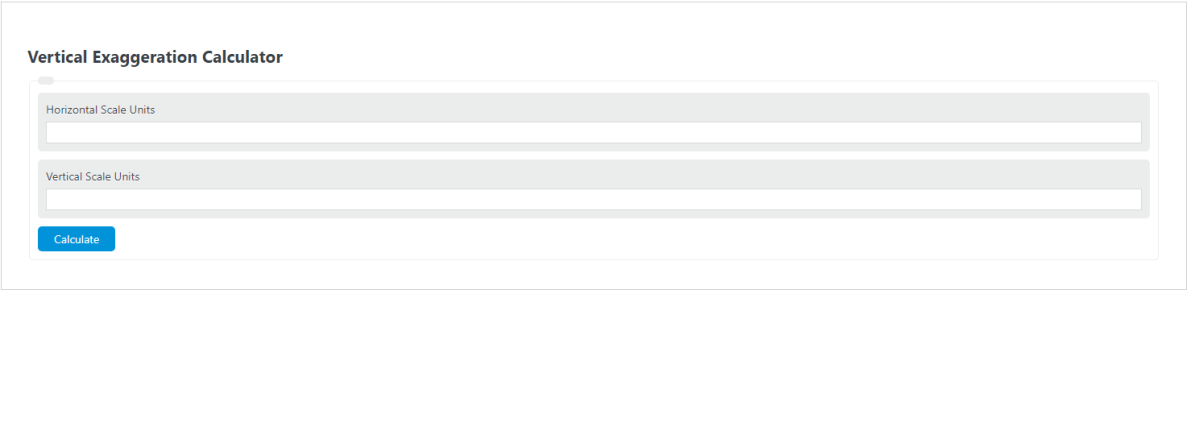
- Enter the horizontal scale as the real-world distance represented by one horizontal unit on the profile.
- Enter the vertical scale as the real-world distance represented by one vertical unit on the profile.
- Make sure both scales represent the same drawing unit and are converted to the same ground-distance unit.
- The calculator divides the horizontal scale by the vertical scale to return the exaggeration factor.
For example, if 1 cm on the horizontal axis represents 2 km on the ground, and 1 cm on the vertical axis represents 100 m on the ground, convert both to meters before comparing them.
That profile has a vertical exaggeration of 20, often described as 20:1.
Interpretation Guide
| VE Factor | Interpretation | Typical Use |
|---|---|---|
| 1 | True scale; no distortion between vertical and horizontal dimensions | Precise shape comparison and technical presentation |
| 2 to 5 | Mild exaggeration; subtle relief becomes easier to see | Topographic profiles with gentle terrain |
| 5 to 20 | Strong exaggeration; slopes and elevation differences are emphasized | Geology, hydrology, and engineering cross-sections |
| Above 20 | Very strong exaggeration; visual emphasis is high but geometric realism decreases | Flat regions, teaching graphics, conceptual diagrams |
Common Scale Conversions
The most important step is keeping units consistent. Convert both scales to the same real-world unit before dividing.
- 1 km = 1000 m
- 1 m = 100 cm
- 1 mi = 5280 ft
- 1 ft = 12 in
If the horizontal scale is given as 1 inch = 500 ft and the vertical scale is 1 inch = 50 ft, then:
Example Using Representative Fractions
Suppose a map profile uses a horizontal scale of 1:24,000 and a vertical scale of 1:2,400. Because the denominators are already in consistent form, you can divide them directly.
This means the vertical dimension is displayed ten times larger than it would be at true scale.
Where Vertical Exaggeration Is Used
- Topographic profiles to make low-relief landscapes readable.
- Geologic cross-sections to highlight folds, faults, and stratigraphic changes.
- River and channel studies to show subtle gradient changes.
- Roadway and pipeline profiles to visualize elevation along an alignment.
- Bathymetric and seismic sections where small vertical changes matter.
Common Mistakes
- Using different units for the horizontal and vertical scales without converting first.
- Comparing scales based on different drawing units.
- Interpreting a high VE profile as if it shows true slope angles.
- Assuming larger exaggeration always produces a better graphic; too much exaggeration can be misleading.
Practical Notes
- A higher vertical exaggeration makes small elevation differences easier to see, but it also makes terrain appear steeper than it really is.
- For communication and reporting, it is good practice to label the profile with the VE factor.
- When comparing multiple profiles, use the same VE if you want visual comparisons to remain consistent.
Frequently Asked Questions
Does vertical exaggeration change the actual elevation data?
No. It only changes how the profile is displayed.
Can vertical exaggeration be less than 1?
Yes. That would mean the vertical scale is less detailed than the horizontal scale, producing vertical compression.
Why do many profiles use exaggeration?
Because real terrain changes are often small compared with horizontal distance, and true-scale profiles can look nearly flat.
Is vertical exaggeration the same as slope?
No. Slope measures rise over run in the real world, while vertical exaggeration measures the difference between the drawing's vertical and horizontal scales.