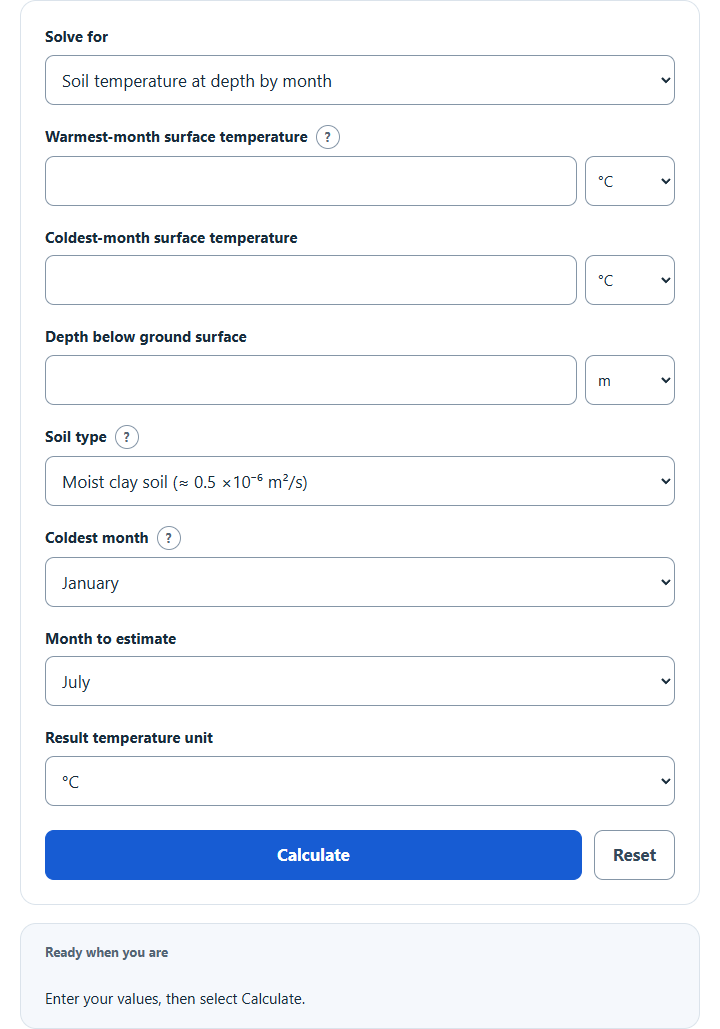
Estimate soil temperature by depth and month from warm- and cold-month temperatures and soil type, or deep ground temperature from a geothermal gradient.
Related Calculators
- Sol-Air Temperature Calculator
- K Value Calculator
- Condensation Resistance Factor Calculator
- Groundwater Velocity Calculator
- All Construction Calculators
Ground Temperature Formula
The linear model below estimates ground temperature from a reference surface temperature, a constant local gradient and depth in compatible units. Seasonal surface effects require the separate seasonal model; no universal 10-meter cutoff applies.
Variables:
- Tg is the ground temperature
- Ts is the surface temperature
- G is the local temperature gradient in temperature change per unit depth
- D is the depth
To calculate the ground temperature, add the product of the temperature gradient and depth to the reference surface temperature. For example, convert °C/km to °C/m by dividing by 1000. Local gradients vary; see the USGS gradient study.
What is Ground Temperature?
Ground temperature refers to the temperature of soil or rock at a stated depth. It depends on surface conditions, soil composition, moisture and thermal properties. A simple model is not a site measurement or an equipment, frost or foundation design check.
The seasonal task uses a damped annual conduction wave with a 365-day year, constant diffusivity and a homogeneous ground assumption. Annual high and low ground-surface temperatures set its mean and amplitude. The chosen minimum month and the twelve outputs use fixed month midpoints, not monthly averages. The model includes a depth-dependent lag but no geothermal trend, moisture movement or freezing. Soil-type presets use typical published diffusivities; moisture and composition can change them. The formulation follows the Kusuda–Achenbach study and its EnergyPlus implementation.
How to Calculate Ground Temperature?
The following steps outline how to calculate the Ground Temperature.
- First, determine the surface temperature (Ts).
- Next, determine the temperature gradient (G).
- Next, determine the depth (D).
- Finally, calculate the ground temperature using the formula Tg = Ts + (G * D).
- After inserting the values and calculating the result, check your answer with the calculator above.
Example Problem :
Use the following variables as an example problem to test your knowledge.
Surface Temperature (Ts) = 25°C
Temperature Gradient (G) = 0.03°C/m
Depth (D) = 10 m. The linear-model result is 25 + (0.03 × 10) = 25.3°C; this arithmetic example does not establish that seasonal effects are negligible at that site.